ARSLG

Map Project

Assiniboia Residential School Map

The Assiniboia Residential School Legacy Group has collaborated on digital mapping projects with the Geomatics and Cartographic Research Centre (Carleton University) and the University of Manitoba. Work began in 2015, and led to the development of the Residential Schools Land Memory Atlas that includes the pilot Assiniboia Residential School Map.

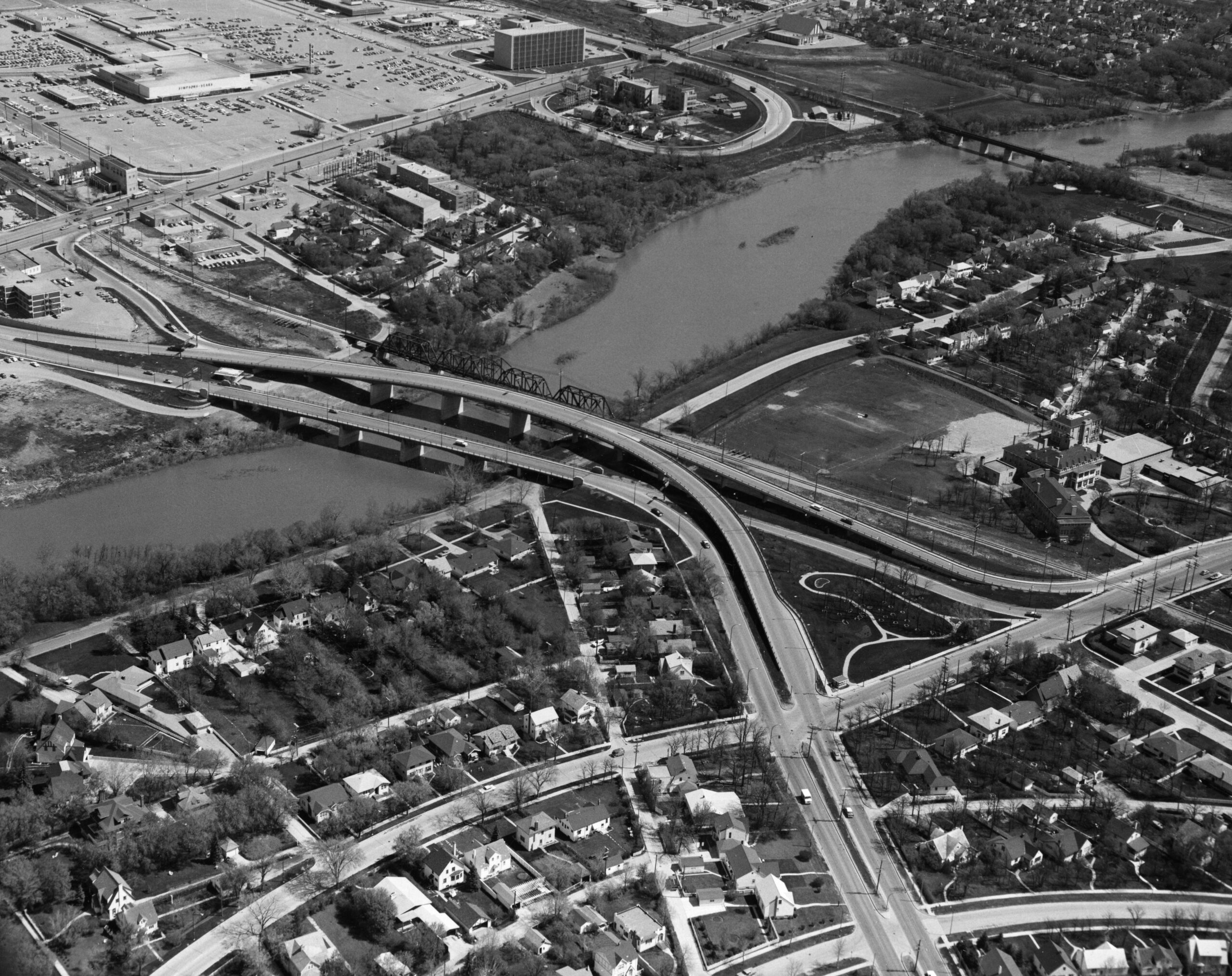
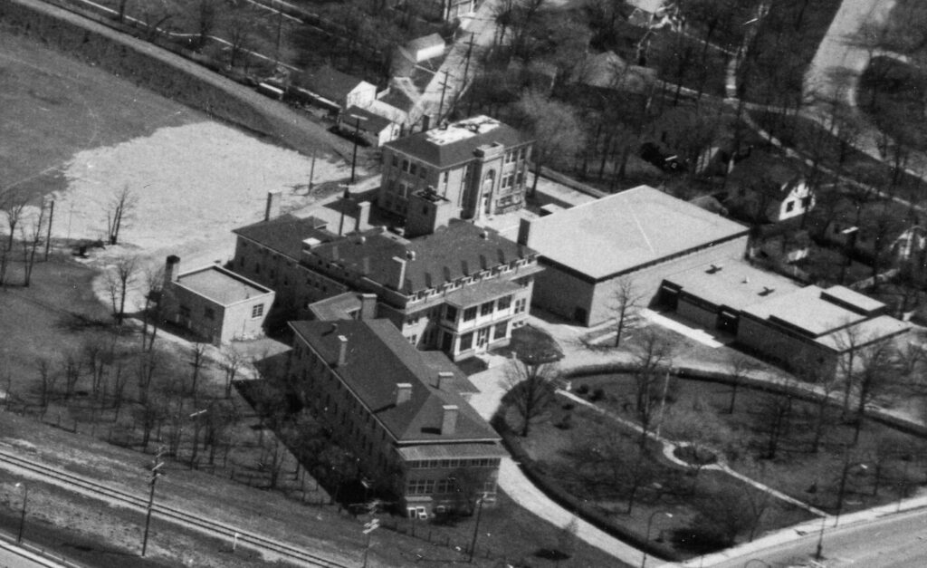
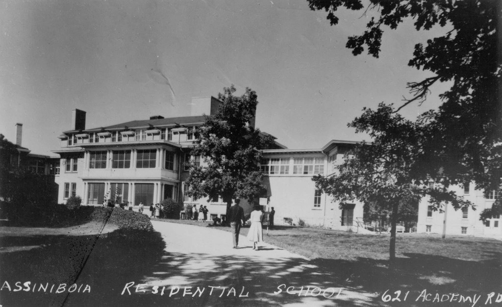
Developing the Assiniboia School Map involved a variety of processes, including archival and historical research into the evolution of the school site and buildings, and photo, video and audio documentation and mapping of the Assiniboia Residential School Reunion and Commemorative Event held on June 23-24, 2017.

Theodore Niizhotay Fontaine Story Mapping

The Assiniboia Residential School Legacy Group is also currently a partner in the “Mapping Assiniboia Residential School Survivor Stories: Did You See Us?” project. Other partners include the Geomatics and Cartographic Research Centre (Carleton University), the University of Manitoba and the University of Toronto (Scarborough and KMDI-MEME Project), and with support from SSHRC.

This project focuses on creating a digital journey map of a significant story told by the late Theodore/Ted (Niizhotay) Fontaine in the book created by the ARSLG entitled Did You See Us? Reunion, Remembrance, and Reclamation at an Urban Indian Residential School. This project focuses on narratively mapping Theodore’s story to honour his legacy, contribute to the book’s promotion and educational outreach, and provide a model for mapping further stories in the book.